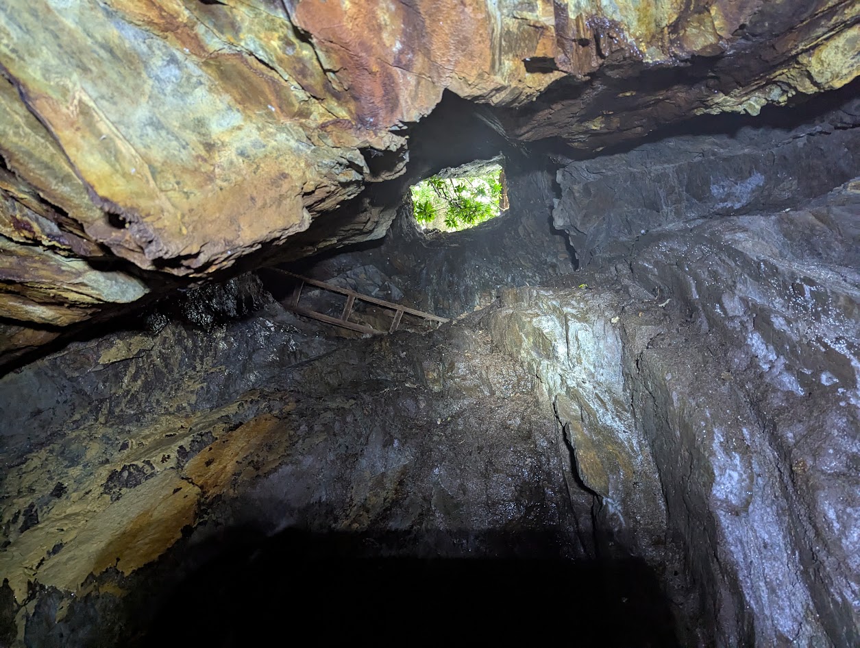
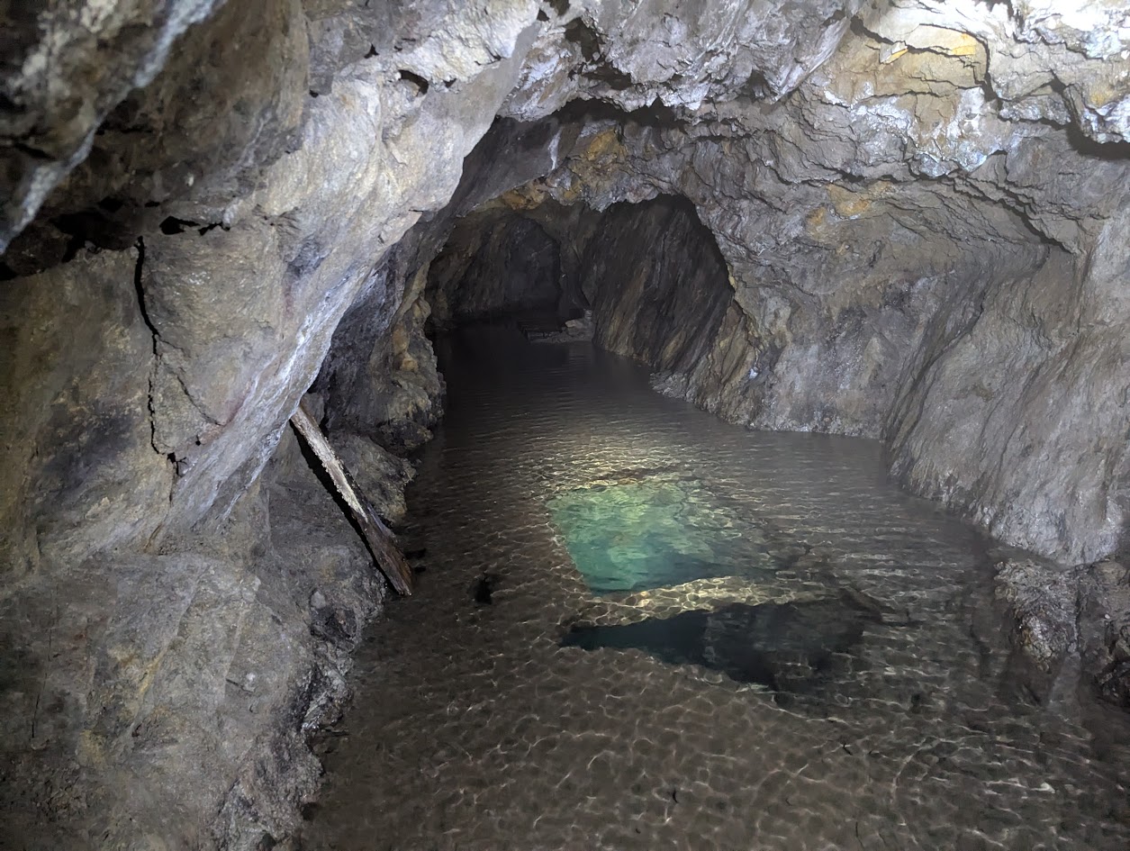
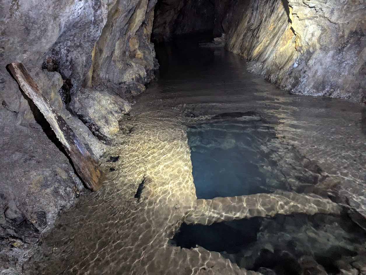
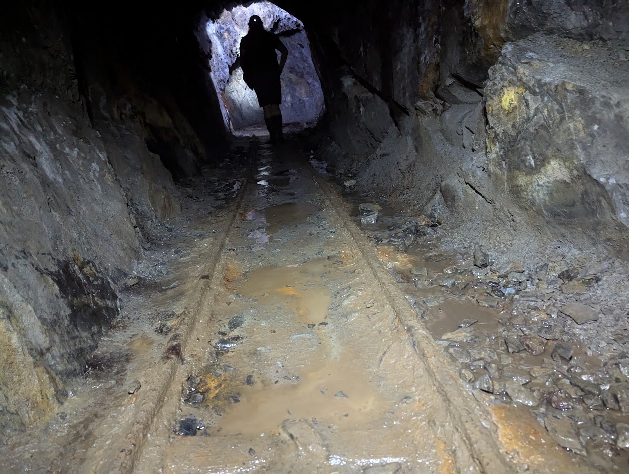
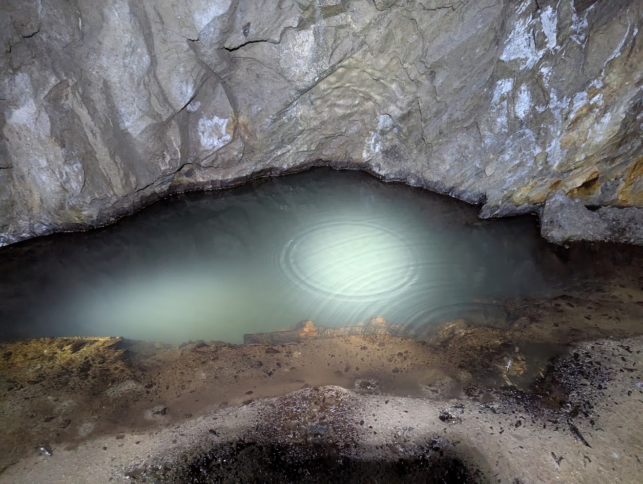
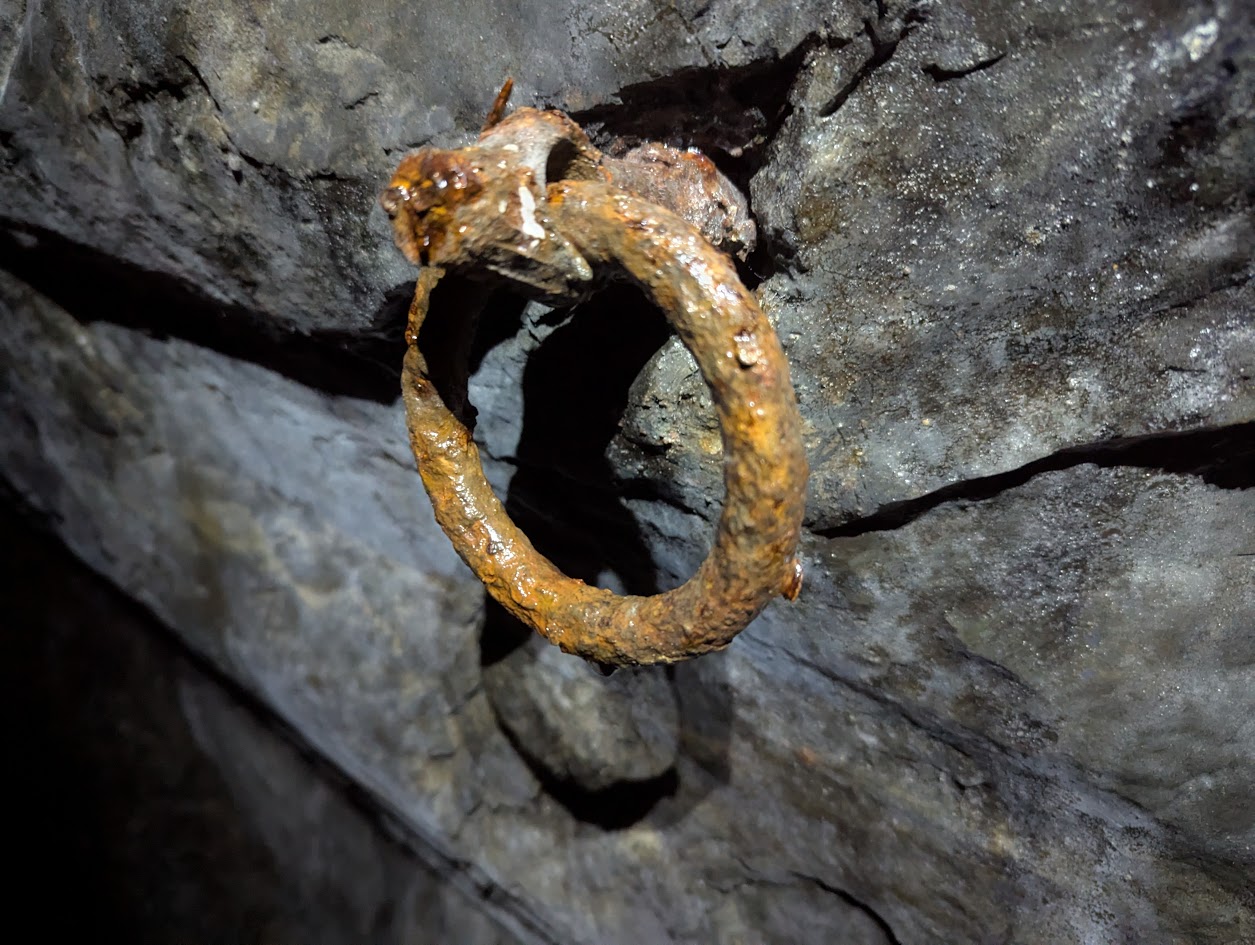
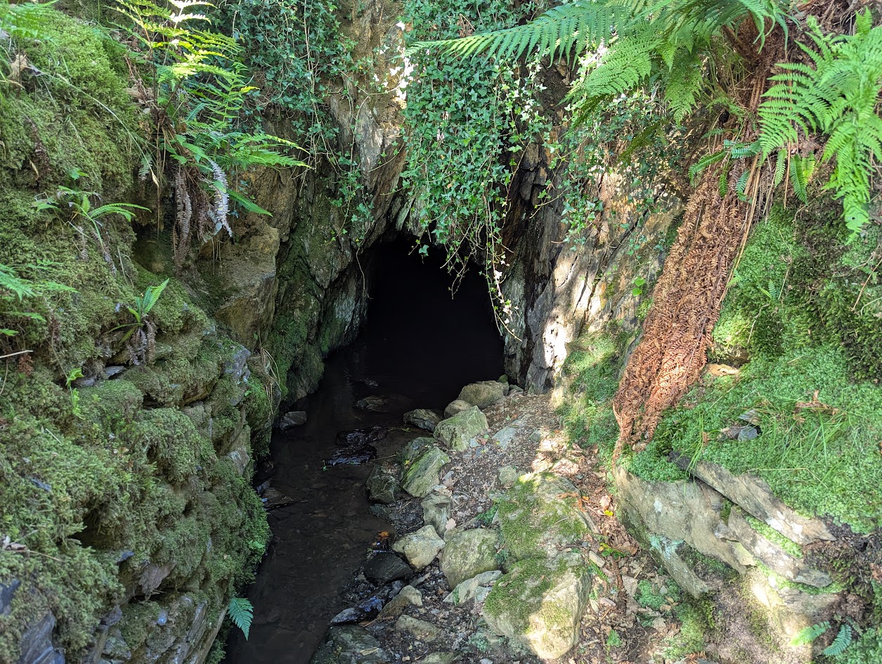
Workings on 5 levels. A long adit near a bend on the minor road leads to stopes and passages. A 100’ shaft from the upper level enters the stope. Higher up the hillside above farmhouse are other stopes and shafts. Other levels are present in this area. Shafts have been bolted, ropes (some in bad condition) installed on a traverse and a small bridge across a stope.
There are reports of radon buildup beyond the junction complex.
The farmer appears to have provided a gate for access to the Deep Adit. Other entrances are easily found on the hillside.
Publications (9)
- (1922); BGS - Mineral Resources of GB (c1920s) Vol XXIII - Lead & Zinc: Pre-Carboniferous Shropshire & North Wales; 111 pages
- (1997); WMS Newsletter Issue 36 Jun; 8 pages
- (2000); WMS Newsletter Issue 43 Oct; 16 pages
- Baines, Dave (1996); Bwlch y Plwm Bat Sanctuary; 1 pages
- GCPC (1997); Ogofa 5; pp. 32-40
- Griffiths, Robin (1997); Bwlch y Plwm Junction Area; 1 pages
- Griffiths, Robin (1997); Bwlch y Plwm Survey; 1 pages
- Misc (1997); Bwlch y Plwm Indicative Map; 1 pages
- NMRS; British Mining 45 - Memoirs 1992; pp.43-44.
